Log in
All resources
Create a design
Tools
10,854 Free Images of Historic Map
pages with maps
cc-zero
national register of historic places with known ids
gemeente atlas van nederland - south holland
1860s maps of south holland
uploaded via campaign:wlm-us
architecture
images from wiki loves monuments 2020
images from wiki loves monuments 2020 in utah
images from wiki loves monuments 2020 in the united states
historisk atlas (stockholm, norstedt & söner, 1880)
maps of 13th-century greece
gemeente atlas van nederland - south holland
old maps of brielle
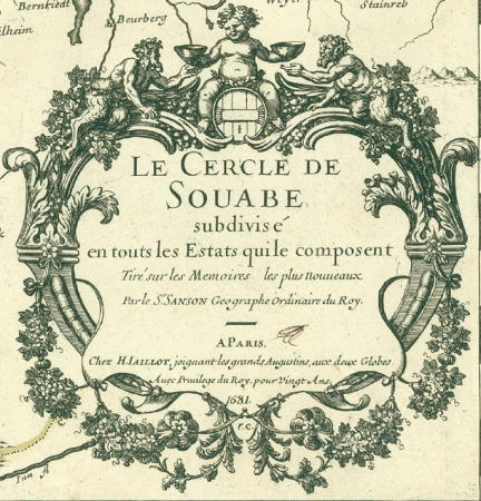
cartouches by alexis-hubert jaillot
sanson (surname)
gemeente atlas van nederland - north holland
maps of beemster
1594 in aschaffenburg
1594 maps of bavaria
skyline
water
self-published work
pages with maps
self-published work
pages with maps
flower
green
self-published work
vehicle
architecture
city
architecture
march 2013
maps of the history of sweden
maps of the kalmar union
architecture
town
vehicle
water
self-published work
pavement
architecture
village
travel
city
military
vehicle
self-published work
traffic
2010 new jersey photos by jim.henderson
pages with maps
skyline
travel
self-published work
pages with maps
architecture
city
sculpture
maps
self-published work
pages with maps
vehicle
city
self-published work
pages with maps
architecture
city
architecture
city
gemeente atlas van nederland - south holland
1860s maps of south holland
maps of augsburg by braun & hogenberg
1600s maps of augsburg
st. helena - a physical, historical, and topographical description of the island (1875) by melliss
maps from the mechanical curator collection
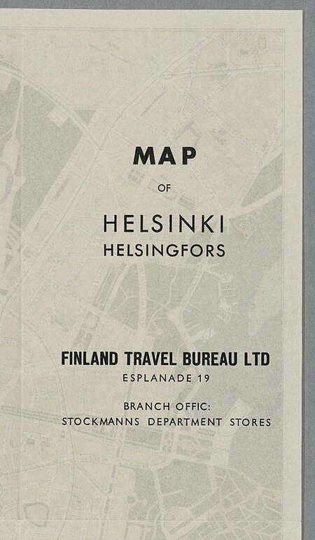
media from the national library of finland
classicism
gemeente atlas van nederland - south holland
1860s maps of south holland
gemeente atlas van nederland - south holland
1860s maps of south holland
church towers in hamburg
jan diricks van campen
gemeente atlas van nederland - south holland
1860s maps of south holland
gemeente atlas van nederland - south holland
1860s maps of south holland
gemeente atlas van nederland - south holland
1860s maps of south holland
maps of denmark by gerardus mercator
historical coats of arms of denmark
maps of the ottoman empire by mercator-hondius
map
gemeente atlas van nederland - south holland
19th-century maps of rotterdam
media from the national library of finland
classicism
maps from the earth and its inhabitants, vol. xiii
africa in the 1890s
gemeente atlas van nederland - south holland
maps of zoeterwoude
gemeente atlas van nederland - south holland
1860s maps of south holland
gemeente atlas van nederland - south holland
old maps of gouda
gemeente atlas van nederland - south holland
old maps of leiden
german renaissance,humanism
old maps of cairo
turgot map of paris, david rumsey historical map collection – derivative files
historical images of the hôpital de la pitié-salpêtrière
gemeente atlas van nederland - south holland
1860s maps of south holland
historical map collection
maps of new france
gemeente atlas van nederland - south holland
old maps of gouda
gemeente atlas van nederland - south holland
1860s maps of south holland
travel
city
village
lawn
village
water
self-published work
lawn
village
town
architecture
village
self-published work
pages with maps
self-published work
pages with maps
wet street
pavement
self-published work
facade
self-published work
pages with maps
self-published work
rural
gemeente atlas van nederland - south holland
maps of goudswaard
gemeente atlas van nederland - south holland
maps of piershil
gemeente atlas van nederland - south holland
1860s maps of south holland
self-published work
pages with maps
self-published work
tree
self-published work
pages with maps
self-published work
lawn
palatinatus rheni (merian)
baroque
gemeente atlas van nederland - south holland
maps of zoetermeer
gemeente atlas van nederland - south holland
1860s maps of south holland
gemeente atlas van nederland - south holland
1860s maps of south holland
gemeente atlas van nederland - north holland
maps of uithoorn
architecture
village
self-published work
town
village
tree
architecture
village
village
roof
self-published work
architecture
self-published work
sidewalk
gemeente atlas van nederland - south holland
1860s maps of south holland
gemeente atlas van nederland - north holland
maps of texel
self-published work
lawn
self-published work
village
architecture
village
self-published work
village
maps by abraham ortelius
pieter van der keere
roof
lawn
self-published work
rural
self-published work
architecture
historisk atlas (stockholm, norstedt & söner, 1880)
maps of 14th-century europe
media from the national library of finland
classicism
gemeente atlas van nederland - north holland
old maps of haarlem
gemeente atlas van nederland - south holland
1860s maps of south holland
4801 - 4900 of 10,854
Next page
/ 109